
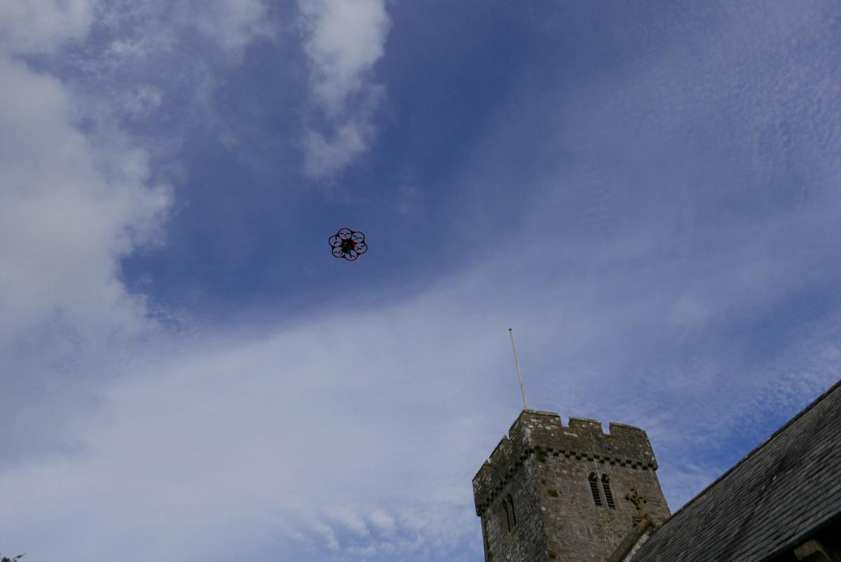
ST AUGUSTINE’S Church in Penarth is set to take part in a trial to map out its churchyard.
For hundreds of years, the maintenance of burial records has been confined to written registers and books, together with hand drawn maps and plans – but that’s about to change with new cutting edge technology.
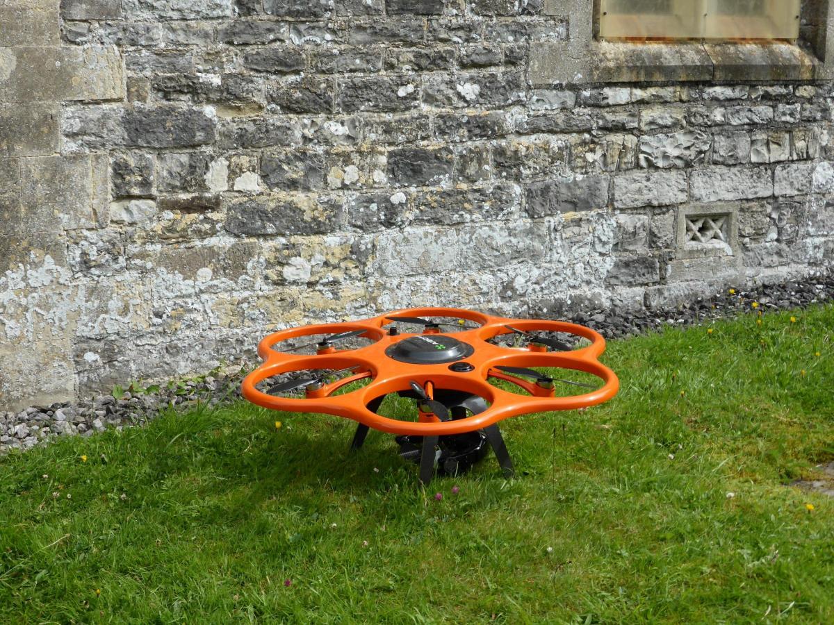
In a pilot project for Llandaff Diocese, a total of four parishes are to use drones as part of a new mapping system, which, it is hoped, will enable people to find graves more easily.
Images taken by the drones will be combined with photographs of headstones and scans of handwritten records going back hundreds of years.
The project is being carried out by Atlantic Geomatics using their Burial Ground Management System software.
Atlantic Geomatics say the maps would also show how much space remains in churchyards to help local authorities plan for the future.
Tim Viney, MD of Atlantic Geomatics said: “Virtually no churches have mapping of their churchyard and often their registers are not backed up so there is a great risk of things being lost.
“Each project can also be tailored to have slightly different priorities, such as at St Augustine’s which is particularly interested in the wildlife and ecology present in the churchyard.”
Llandaff Diocese is the first in Wales to trial the scheme.


Comments: Our rules
We want our comments to be a lively and valuable part of our community - a place where readers can debate and engage with the most important local issues. The ability to comment on our stories is a privilege, not a right, however, and that privilege may be withdrawn if it is abused or misused.
Please report any comments that break our rules.
Read the rules here